

Surveys: Which One You Need and When
August 8, 2024 · 4 min read · Reviewed September 2026
Applies to Building projects across Canada. What survey a municipality requires, and what it is called, varies by province and by municipality.
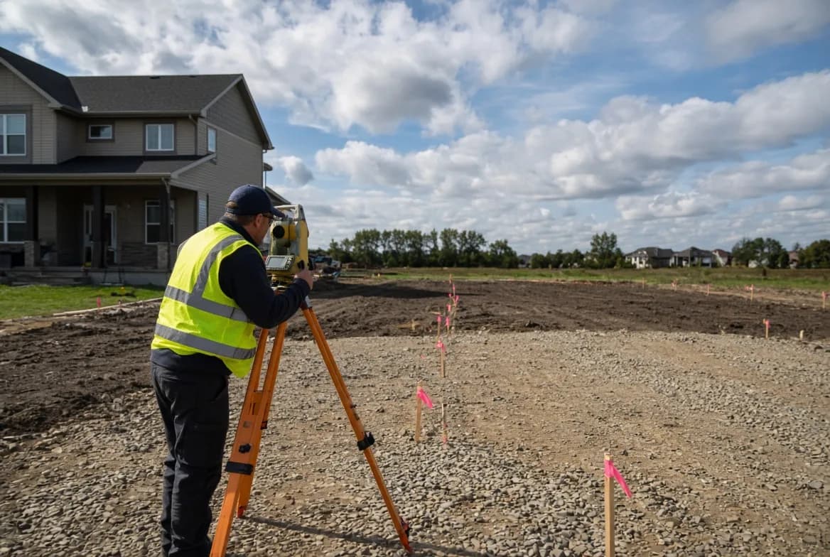
Fences move. Hedges get planted where it was convenient. A neighbour’s shed was placed by eye forty years ago. None of that has any bearing on where the property line is, and all of it is what people measure from when they plan a project.
A survey is the document that resolves it. A licensed surveyor locates the legal boundaries and shows what sits where relative to them, and that drawing is what a municipality will accept when it checks a setback.
The names differ by province and so does what each product includes, which is where confusion starts. Asking for a survey without saying which one is how people end up paying for the wrong thing.
Which document does what#
| Document | What it shows | Typical use |
|---|---|---|
| Survey plan of record | Legal boundaries as registered | The underlying legal description |
| Real property report or location certificate | Boundaries plus existing improvements | Sale, mortgage, permit application |
| Building location survey | Where a proposed building will sit | Setting out before construction |
| As-built or final survey | Where the building ended up | Closing a permit, confirming compliance |
| Topographic survey | Levels, contours, existing features | Grading and drainage design |
| Title search | Ownership, easements, restrictions on title | What you own and what burdens it |
The distinction that matters most: a title search tells you what you own, and a survey tells you where it is. Easements and rights of way show on title and their physical position on the ground comes from the survey. Building over one is a problem neither document alone would have warned you about.
What a survey catches#
Encroachments are the common find. A neighbour’s eave, fence or driveway sitting over the line, or your own garage doing the same in the other direction. Discovering that during a permit application is inconvenient. Discovering it after you have built against it is worse.
Easements are the other. Utility corridors, drainage rights and shared access frequently run along lot boundaries, and they are exactly where people want to put an addition or a garage. An easement generally cannot be built over, and the utility with the benefit of it does not have to be reasonable about that.
The third is simply that the lot is not the shape people think. Older subdivisions in particular contain lots whose registered dimensions differ from what the fences suggest, sometimes by a surprising margin.
Grade is the fourth, and it matters more than people expect because zoning height is usually measured from a defined grade rather than from the ground beside the wall. On a sloping lot the difference between the two decides whether a design fits under the height limit.
The fence is not the boundary. Neither is the hedge, the driveway edge, or the line the neighbour points at.
Ask the municipality what they require
Name of the document, acceptable age, and whether they need it stamped. That one call decides what you order.
Check whether one already exists
Your lawyer’s file from the purchase, the mortgage file, or the previous owner may have one. If it is recent enough, you are done.
Order the survey before designing
Designing to a fence line and then discovering the real boundary is how a project gets redrawn.
Read the easements alongside it
Get the title search too, and put the easements onto the survey so you can see what is buildable.
Budget for a set-out and a final survey
Many municipalities want the building located by a surveyor before the foundation is poured, and confirmed afterwards.
Common questions#
- Can I use the survey from when I bought the house?
- Often, if it is recent enough and nothing has changed. The municipality sets the acceptable age, and it varies, so confirm before assuming.
- The fence has been there for decades. Is that the boundary?
- No. Long-standing occupation can raise legal arguments in some circumstances, and those are matters for a lawyer rather than a building department. The registered boundary is what a permit is checked against.
- Do I need one for a deck or a shed?
- Frequently yes, because both are governed by setbacks. Small accessory structures below a size threshold may be exempt, and the threshold is local.
- Who can perform a survey?
- A licensed land surveyor in that province. A drawing from anyone else is not the document a municipality is asking for.
- What if I find an encroachment?
- It becomes a legal question rather than a construction one. Options range from an agreement with the neighbour to registering an easement, and it is far easier to settle now than during a sale.
- How long does one take?
- Field work is usually quick and the drawing takes longer, and lead times stretch in the busy season. Order it early rather than when the application is otherwise ready.
Looking for the number?
These pages state the requirement and name the document it comes from.
Related notes
Ask your own code question
Canadian Codes answers questions like this one from national, provincial, territorial, and municipal sources, and cites the document, section, and page so you can check it yourself.
Try it free →